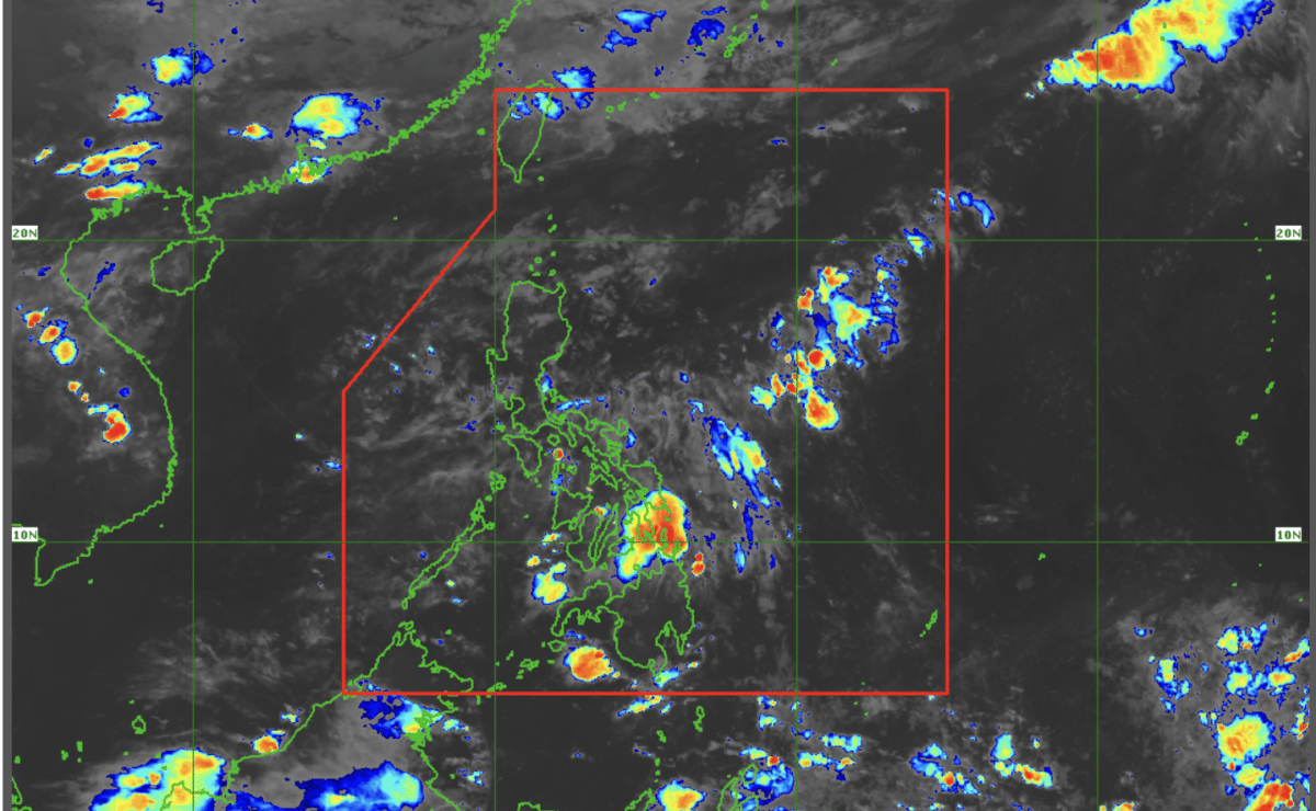
2 low-pressure areas form inside PAR – Pagasa

Satellite image taken at 7 a.m. on May 7, 2025. — Photo from the Philippine Atmospheric, Geophysical and Astronomical Services Administration
MANILA, Philippines — Two low-pressure areas were monitored inside the Philippine area of responsibility (PAR) on Wednesday, the state weather bureau said.
As of 3 a.m., the two LPAs were monitored 425 kilometers west off Iba, Zambales, and over the waters off Kalibo, Aklan, according to Benison Estareja, weather specialist of the Philippine Atmospheric, Geophysical and Astronomical Services Administration (Pagasa).
READ: Easterlies to bring rain over parts of Visayas, Mindanao
Estareja said the LPA off Zambales may also exit the PAR within 24 hours.
Also, the LPA off Aklan would only stay within the Visayas area before dissipating, but it is set to bring rains before that.
“This low-pressure area, while also not expected to be a tropical cyclone, is expected to bring rains in most parts of southern Luzon and Visayas,” Estareja said in a public weather forecast in Filipino.
“It will only stay within the Visayas area and Mimaropa (Occidental Mindoro, Oriental Mindoro, Marinduque, Romblon, Palawan) area until it dissipates until tomorrow noon or afternoon,” he added.
Meanwhile, Pagasa did not raise a gale warning in any seaboard nationwide.