


LPA off Mindanao enters PAR


Pagasa
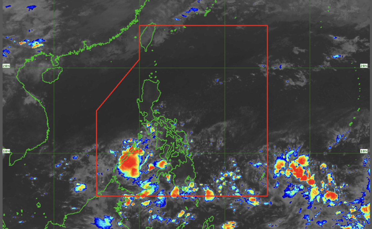
MANILA, Philippines — The low pressure area off eastern section of Mindanao entered the Philippine area of responsibility early Monday morning, according to state meteorologists.
As of 3:00 a.m., the LPA was last spotted 695 kilometers off South Cotabato, said Daniel James Villamil, weather forecaster of the Philippine Atmospheric, Geophysical and Astronomical Services Administration (Pagasa).
READ: LPA develops east of Mindanao, says Pagasa
The LPA has less likelihood of becoming a tropical cyclone in the next 24 hours, according to Villamil.
“Due to the combined effects of low pressure area and the ITCZ (Intertropical Convergence Zone)—because the LPA is embedded in the ITCZ—we will experience scattered rain showers in Mindanao and the area of Palawan,” Villamil also said in a public weather forecast.
Villamil further noted that “thunderstorms activity” have occurred over some parts of Palawan and southern Mindanao.
“We expect that for the remainder of the day, more areas in Mindanao will experience scattered rains and thunderstorms,” he continued.
In its 4:00 a.m bulletin, Pagasa said Davao Region and SOCCSKSARGEN will be directly affected by the LPA and is expected to experience cloudy skies with scattered rains and thunderstorms.
For the rest of Luzon and Visayas, warm weather is still expected with partly cloudy to cloudy skies with isolated rain showers or thunderstorms.
Meanwhile, Pagasa did not raise a gale warning in any seaboards nationwide.


